


3 tropical disturbances being tracked in Atlantic with one potentially affecting US
Three tropical disturbances are being monitored in the Atlantic Ocean, with one having a slight chance to slowly develop while heading toward the southeastern U.S. over the next several days.
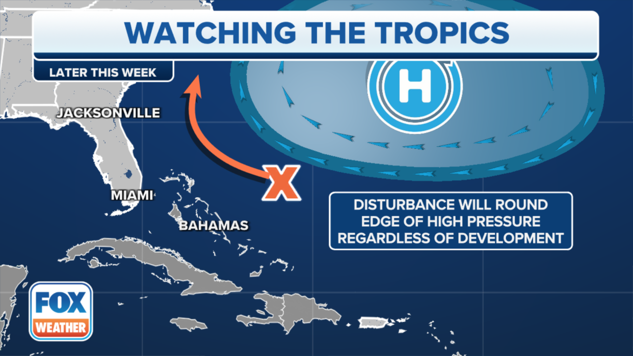
The National Hurricane Center is currently giving the disturbance closest to the U.S. mainland a 10% chance of developing into a tropical system, but there are some atmospheric challenges that this system would have to get over to actually develop.
"Right now, it's just an area of thunderstorms that's off the Southeast coastline," FOX Weather meteorologist Britta Merwin said. "But there's this small window where we could see the dust really calm down off the southeast coastline and also the wind shear drop, which will allow for the slight potential, maybe seeing something develop."
There is a ridge of high pressure, known as the Bermuda high, that is off to the east, which would make this a concern for the East Coast if the disturbance develops further. The high would essentially block the storm from pushing away from the coastline, Merwin added.
"It's too early in the game to really see if this would happen or if it would not," she said.
MOST SIGNIFICANT SAHARAN DUST PLUME OF SEASON IMPACTING TEXAS, GULF COAST
Working against development is the presence of wind shear off to the north and west of the storm, which would work to pull apart the system
"But if this little area of interest could actually tap into (a nearby) area where we have a lower wind shear, that would allow for possibly some development," she said.
The FOX Forecast Center said there's a small window where this could happen from Thursday to Friday.
"Most of our computer models do not develop a tropical system out of this," Merwin said. "But again, there's a chance."
A tropical wave over the southeastern Caribbean Sea is producing a large area of disorganized showers and thunderstorms, with some locally heavy rains over portions of the adjacent land areas, the NHC said.
Development of this system is not expected while it continues to move rapidly westward over the Caribbean during the next few days.
The NHC has given the disturbance, which has been dubbed Invest 95L, a 0% chance of developing during the next week.
An invest is simply a naming convention used by the NHC to indicate a disturbance that is being closely monitored.
A new tropical wave located south of the Cabo Verde Islands was added to the list Tuesday.
The NHC said some development of this system is possible later this week and into the weekend while it moves westward over the tropical Atlantic.
Formation chances over the next week is at 20%.
